The image below shows a hemispheric look of what's currently happening. The most prominent feature are the two cyclones over the Atlantic ocean. The first one is obviously hurricane Sandy, the second is a not so different looking extratropical cyclone, which has been persisting for several days.
While these two low pressure patterns are quite obvious in satellite imagery, some other strong patterns are ocurring that are not as obvious in a picture. The figure below shows the forecast of geopotential heighs (and anomalies) within the next couple of days. Geopotential heights are analogous to pressure.
The first and most most interesting pattern in the figure is the major pattern localized over the Atlantic. Check out how the jet immediately shifts northward near the east coast of the USA. That red bullseye over northeast Canada is an anomalous ridge. That ridging pattern, flanked by two lows (seen above) is often called an "omega" pattern because of its resemblance to the greek capital omega.
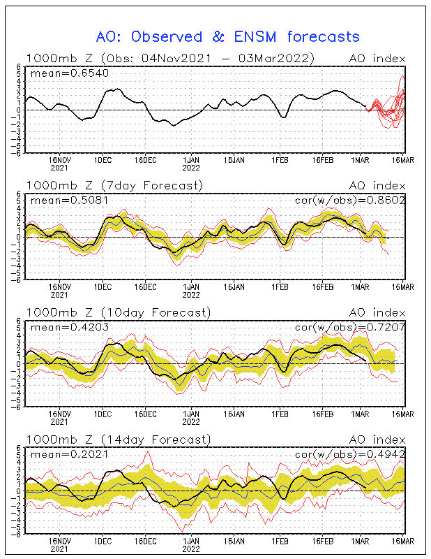
Indeed, we are currently in a period where the jet is weaker, and more wavelike features dominate weather patterns. This is very evident in the latest Arctic Oscillation (AO) Index, which has been negative for a while. A negative AO index indicates strong wave features, with potential for Arctic spills over the US, and anomalously warm Arctic temperatures. The pattern, however, is forecast to weaken in the following weeks, thus anomalous blocking patterns like the one seen above may become less likely.


